Bay of Islands Gallery
The Bay of Islands stretches across 140+ islands and countless beaches in Northland’s subtropical waters. This gallery shows you what the region actually looks like: the coastline, the wildlife, the towns, and the activities that bring people here.
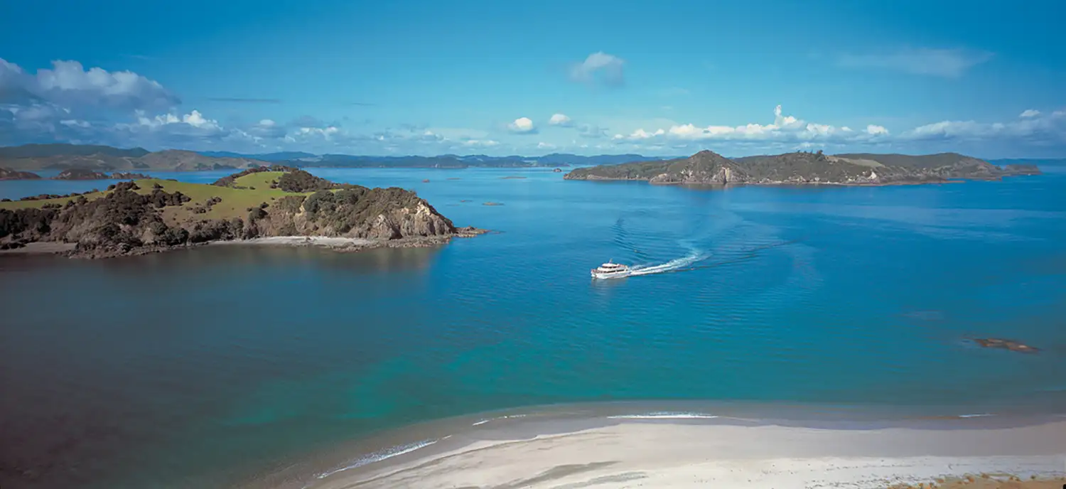
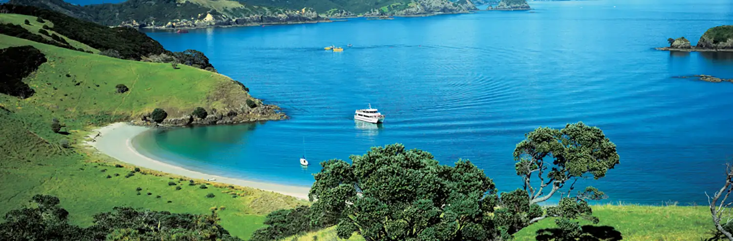
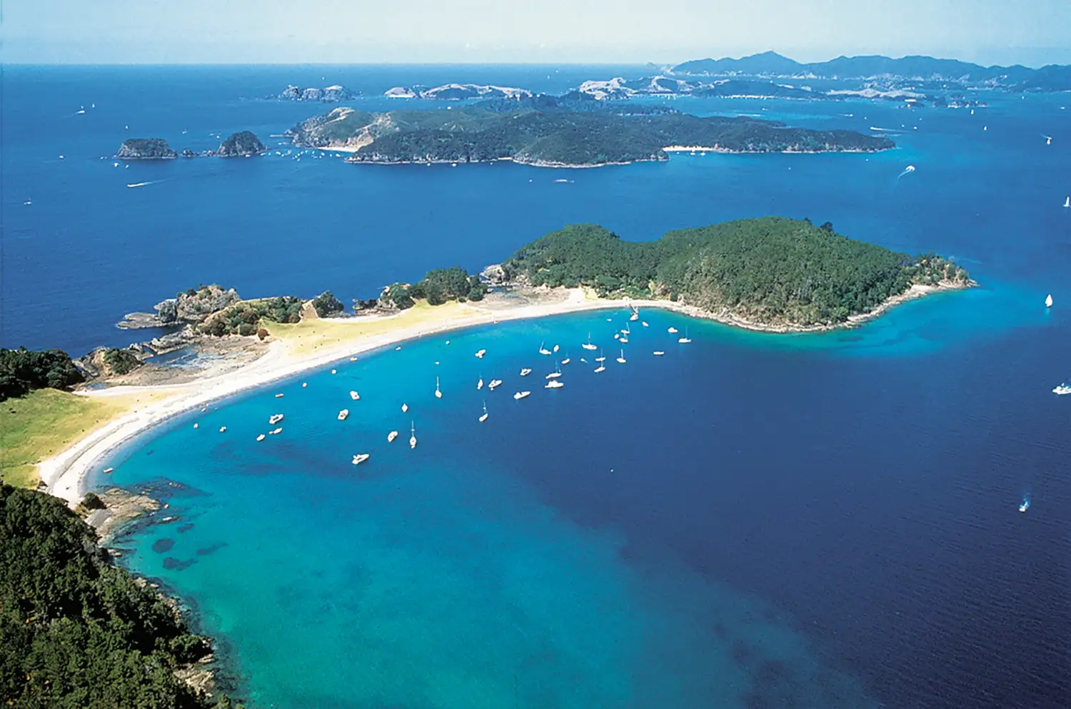
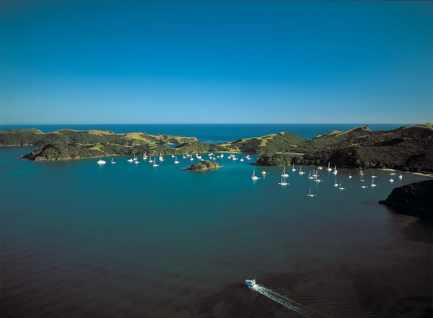
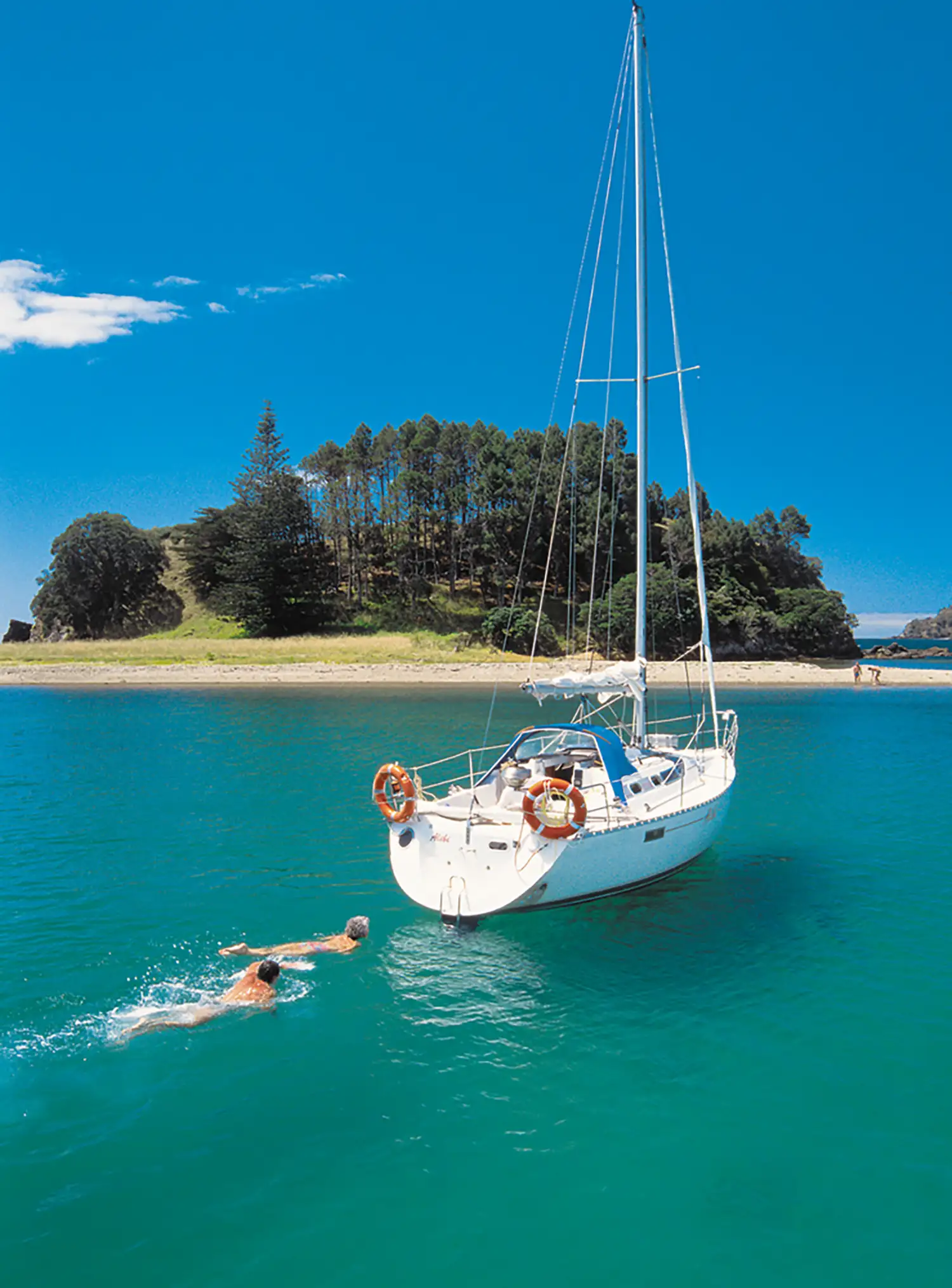
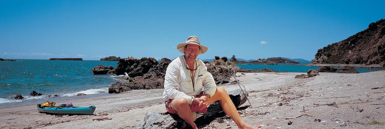
Landscapes & Waterways
The Bay of Islands coastline includes everything from popular swimming beaches to hidden coves only accessible by boat. These photos show the variety of landscapes across the region.
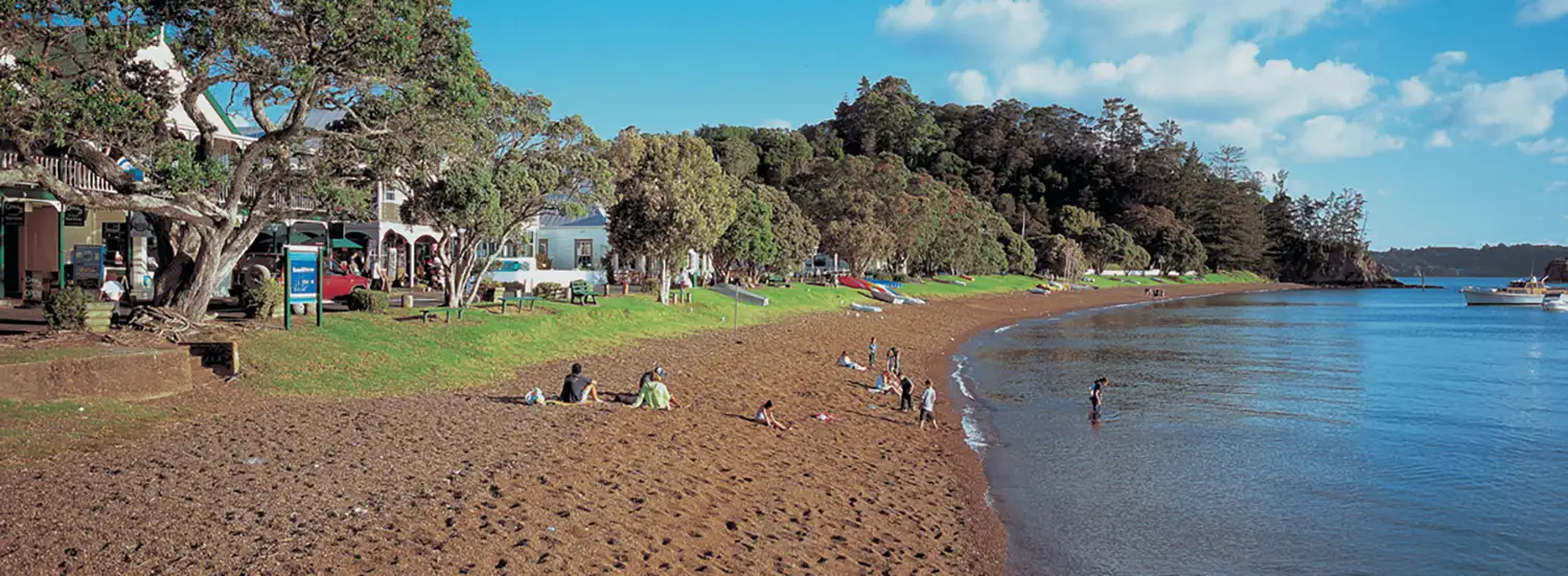
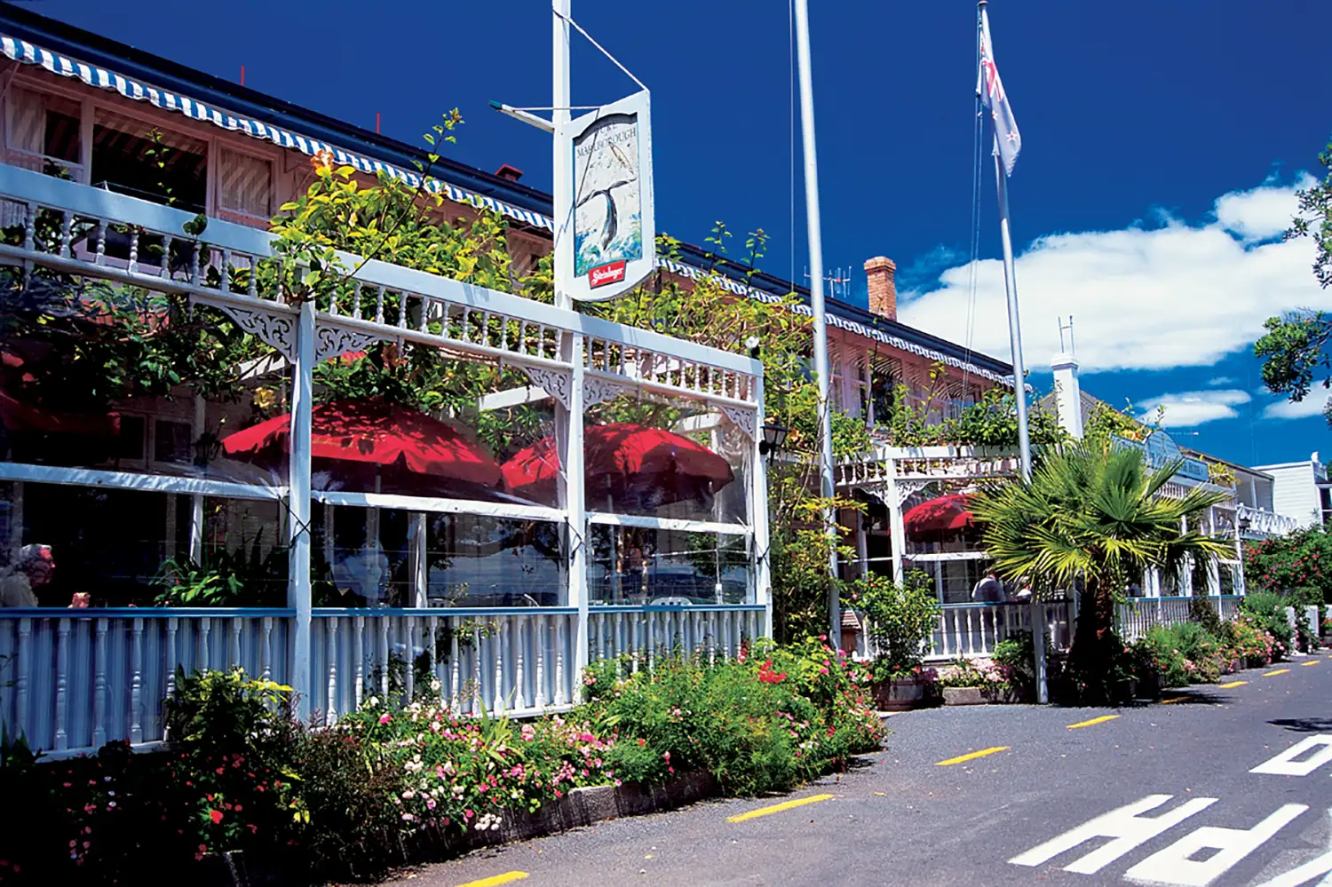
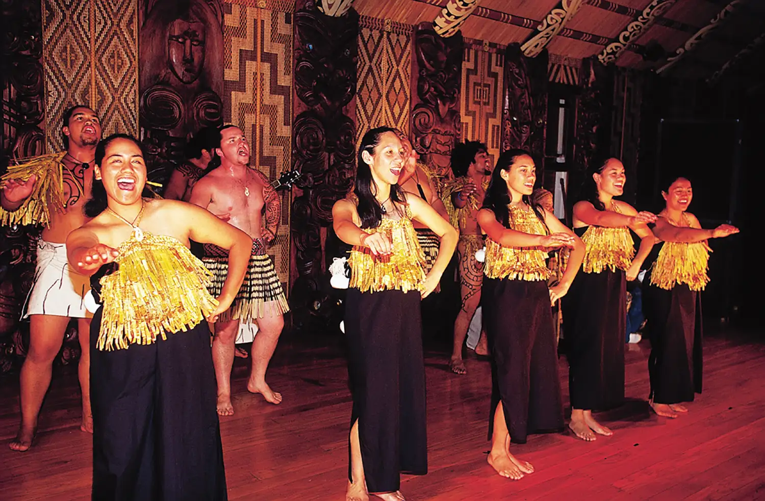
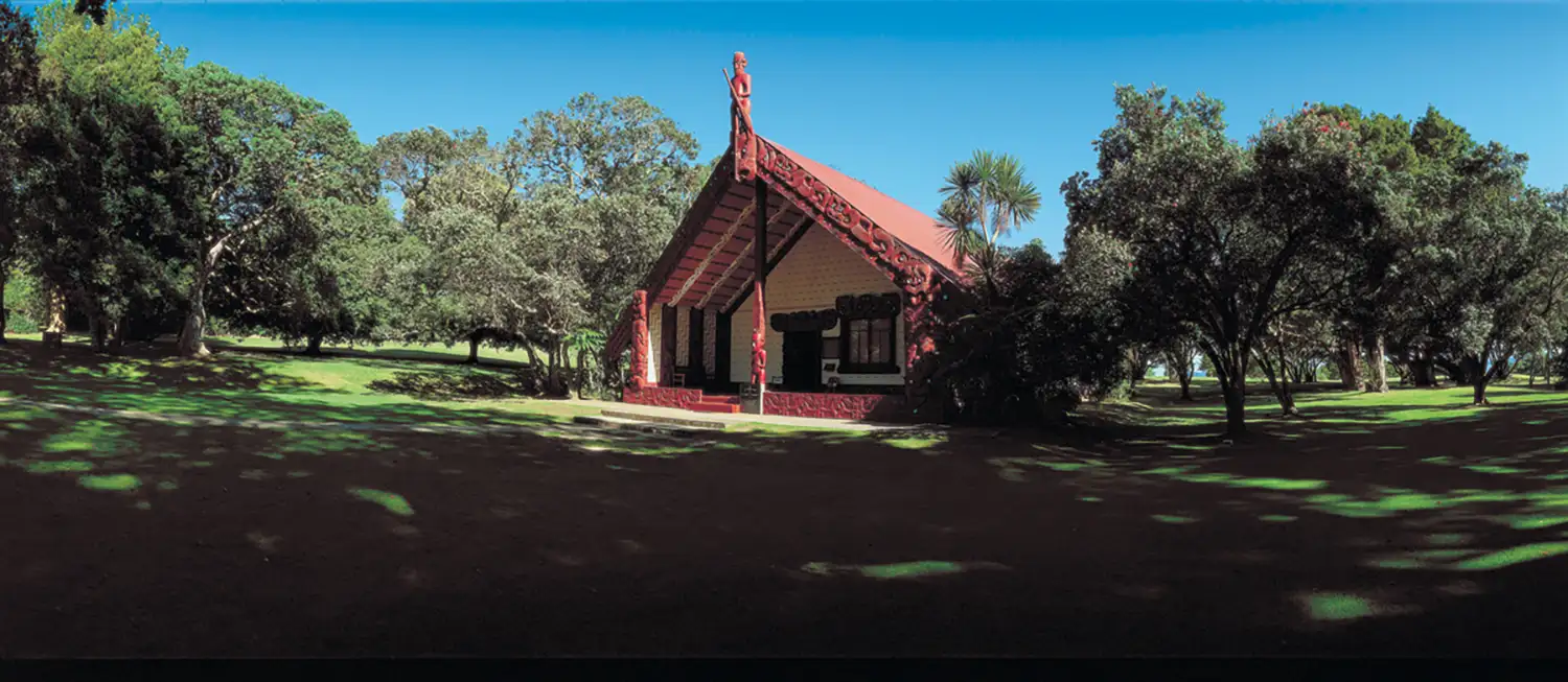
Historic Towns & Culture
The Bay of Islands includes several historic towns like Russell and Paihia, plus significant sites like the Waitangi Treaty Grounds. These photos show the local architecture and cultural landmarks.

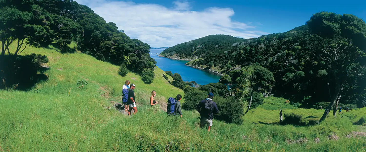
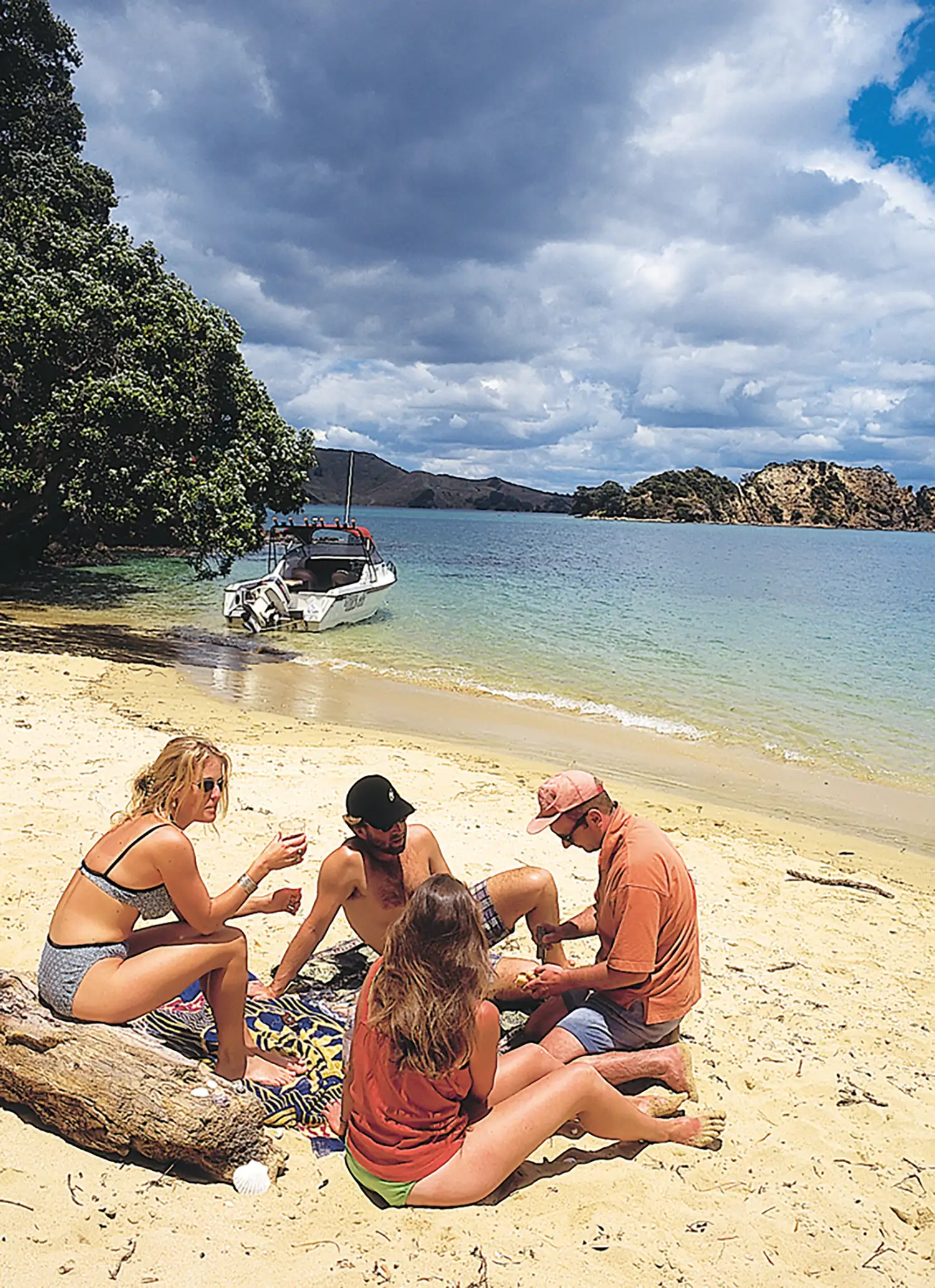
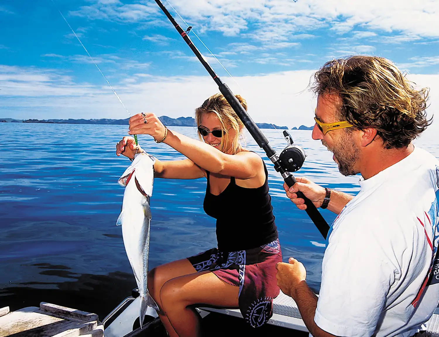
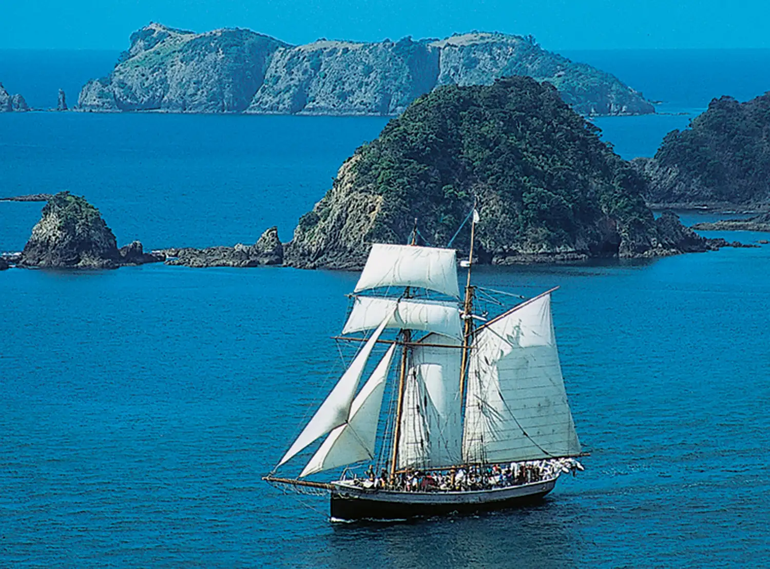
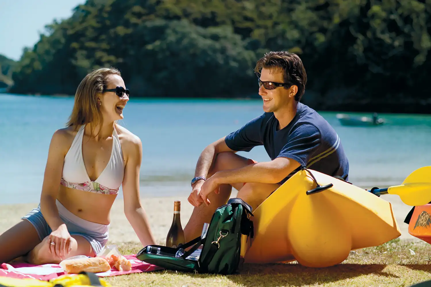
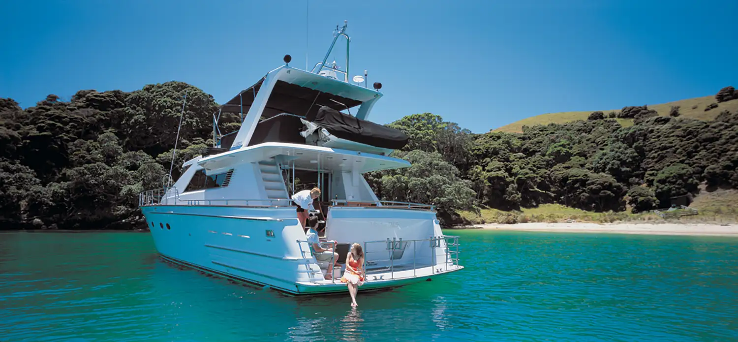
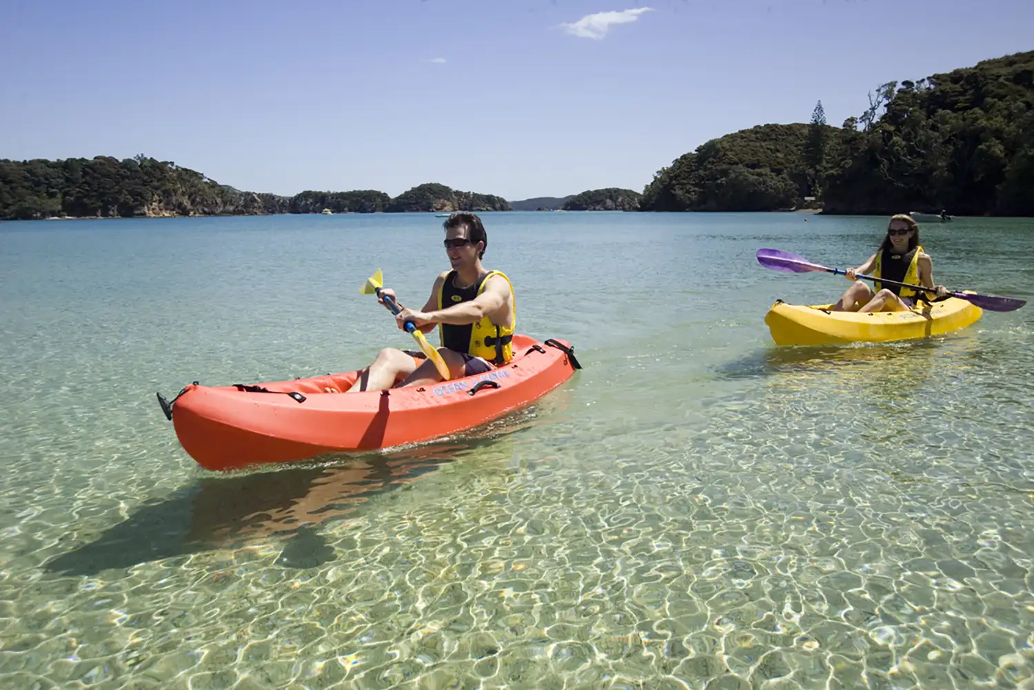
Activities & Adventure
The Bay of Islands offers sailing, kayaking, fishing, hiking, and island tours. These photos show some of the activities available in the region.
Bay of Islands Facts
- The Bay of Islands has over 800km of coastline despite covering a relatively small area.
- There are 144 islands officially counted, though estimates vary depending on what qualifies as an ‘island’ versus a rock or outcrop.
- The Bay of Islands is one of the top spots in New Zealand to see bottlenose and common dolphins year-round.
- Zane Grey, the famous American author, helped put the Bay of Islands on the map as a game fishing destination in the 1920s.
- The oldest surviving stone building in New Zealand is in Kerikeri – the Stone Store, built in 1836.
Planning a Visit?
Check out our Accommodation, Activities, and Events pages for more information.
Images courtesy of Tourism New Zealand and local contributors.